Free Camping Near the Best Fly Fishing Rivers in the West
Where to sleep in the dirt for free and fish all day on BLM and National Forest land
Jake Morrison
August 26, 2026
11 min read
There's a certain kind of fishing trip that doesn't involve a lodge or a guided float. You throw your sleeping bag in the truck, grab a cooler of cheap beer and sandwich fixings, and drive until you find the river. Then you sleep in the dirt, wake up before sunrise, and fish until your arm hurts. Repeat for three or four days.
This is how a lot of us got into fly fishing. It's still the best way to do it.
The western U.S. has millions of acres of public land where you can camp for free. Bureau of Land Management (BLM) land, National Forest land, state trust land. No reservations. No $45/night campsite fees. Just pull off on a forest road, find a flat spot, and set up camp. The trick is knowing where to go, what the rules are, and which spots actually put you close to good water.
What follows is a river-by-river list for Colorado, Montana, Wyoming, Idaho, Utah, and New Mexico, pulled together from Forest Service and BLM camping guidance, individual national forest and ranger district rules, state wildlife agency regulations, and dispersed-camping databases. Every spot below is free, legal, and within walking or short driving distance of trout water. Rules change, so the agency links throughout are the ones to check before you go.
The basics of dispersed camping
Dispersed camping means camping outside a designated campground on public land. The U.S. Forest Service and BLM both allow it on most of their land, with some restrictions.
The universal rules:
- 14-day stay limit in any 28-day period (some forests have shorter limits now)
- Camp at least 200 feet from water sources
- Use existing fire rings or pack a fire pan. Check local fire restrictions before you light anything.
- Pack out everything. All of it. Leave the site cleaner than you found it.
- No trenching, no cutting live trees, no building structures
You'll want to download the onX Offroad app or FreeRoam before you leave. Both show BLM and National Forest boundaries so you know you're on public land and not accidentally camping on someone's ranch.
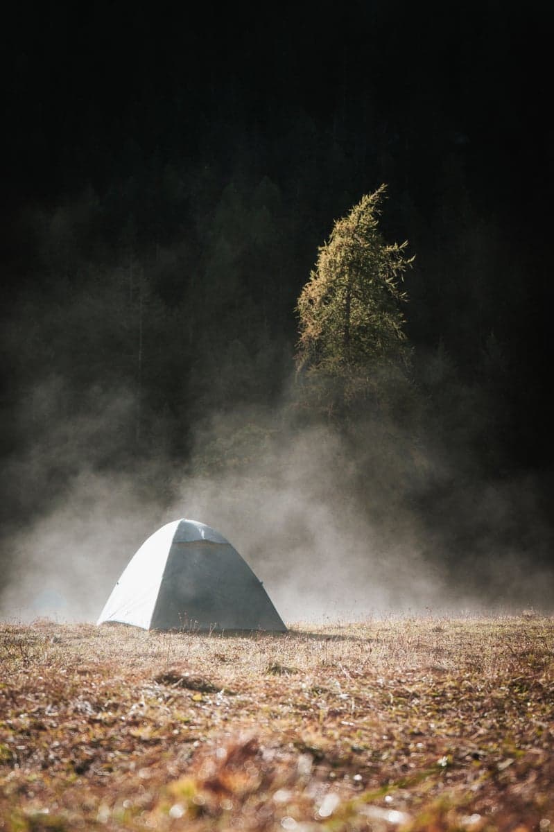
A dispersed campsite at dawn, a long way from the nearest reservation window
The rivers (and where to sleep next to them)
Madison River, Montana
The Madison between Quake Lake and Ennis Lake is called the "fifty mile riffle" for a reason. Fifty miles of continuous riffles, runs, and pocket water holding fat rainbows and browns. Salmonflies come through in late June, caddis and PMDs fill the summer, and fall hopper fishing is some of the best anywhere.
For camping, the Beaverhead-Deerlodge National Forest borders the upper Madison. West Madison dispersed camping along Forest Road 8381 has spots within a 5-minute walk of the river. The lower Madison has dispersed sites with fire rings and vault toilets. Standard 14-day limit.
Ennis (population ~900) has a grocery store, gas, and a couple fly shops. Cell service is spotty south of town and nonexistent in the canyon. Stock up before you head south.
Check Montana flows on RiverReports before you go.
Yellowstone River, Paradise Valley, Montana
Forty-plus miles of blue-ribbon trout water through Paradise Valley. Yellowstone cutthroat, rainbows, and browns. The river typically opens to fishing in early July after spring runoff drops, and stays good through October.
Mill Creek Recreation Area in Custer Gallatin National Forest has developed campgrounds and dispersed sites along the forest road, about 12 miles off US-89. Bear Creek and Timber Camp further south near Gardiner also have dispersed options. The dispersed sites are 15-20 minutes by truck from Yellowstone River fishing access, so you're driving to the main river and walking to fish the side creek from camp.
This is grizzly country. Hang your food or use bear canisters. No exceptions. Cell service works along US-89 but dies once you head up the side drainages. If you're coming from Bozeman, our long weekend wade fishing itinerary covers the fishing in detail.
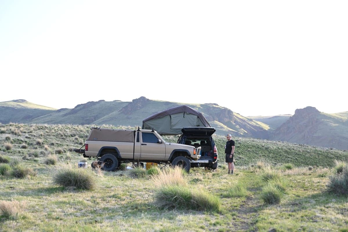
Truck camping setup somewhere in the West. Rooftop tent optional, flat ground required.
Bighorn River, Montana
The Bighorn below Yellowtail Dam near Fort Smith has trout densities estimated at 2,500 to 6,000 fish per mile. Rainbows and browns averaging 16-20 inches, consistent flows, and year-round fishing. It's a long drive from anywhere, which keeps the crowds down.
BLM campgrounds at Afterbay and Three Mile Access put you right on the river with boat ramps. Gravel Pit Dispersed Camping has bigger sites with tree cover and fire rings. The Crow Indian Reservation borders the public land here, so check boundaries before you set up.
Fort Smith (population ~100) has almost nothing. Buy groceries in Hardin, 45 minutes north, before you come in. Cell service is minimal. The Bighorn fishes well even in January, but winter camping up here means temps well below zero. Bring a real sleeping bag.
Green River below Flaming Gorge Dam, Utah
The Green below Flaming Gorge Dam is a blue-ribbon tailwater with big browns, rainbows, and some cutthroat. Water stays around 48 degrees year-round. Artificial flies and lures only with a slot limit: fish between 15 and 22 inches must be released immediately. You can keep 2 under 15 inches and 1 over 22.
BLM land along the river below Dutch John has pull-off dispersed sites, some of them right on the riverbank. Spring Creek Road has sites with direct water access. The Ashley National Forest also has dispersed camping on forest roads above the river. The access road is paved to the dam, then gravel. High clearance helps but isn't required for most sites.
Dutch John has a small store and gas. Vernal is 40 minutes south for bigger supplies. Cell service works in Dutch John but forget about it below the dam.
Read more in our best tailwaters guide.
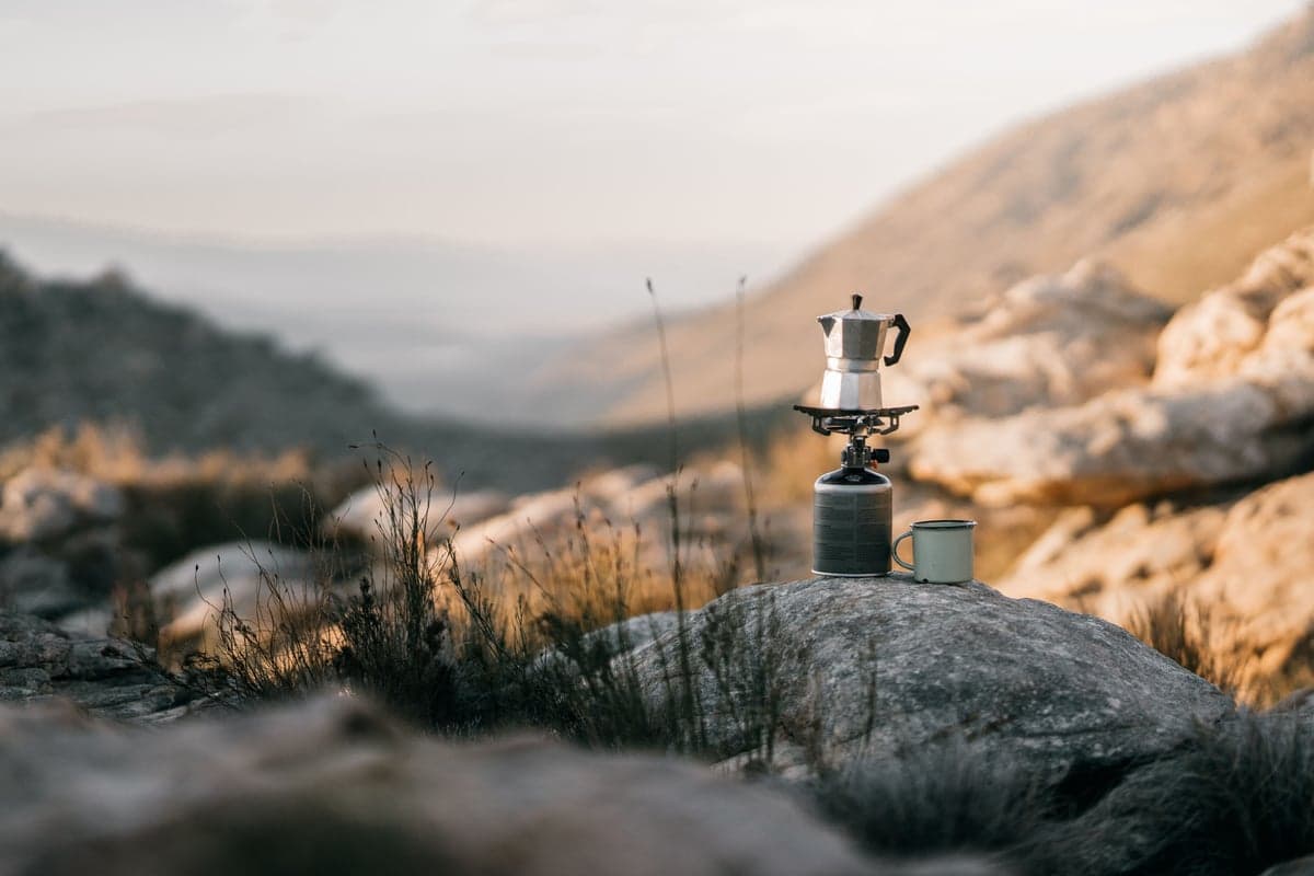
The best coffee you'll ever drink. Camp stove, tin cup, and nobody around for miles.
North Platte River, Wyoming (Miracle Mile)
The Miracle Mile flows between Kortes and Pathfinder reservoirs, roughly 50 miles southwest of Casper. Good rainbow and brown trout year-round. Grey Reef, below Alcova Reservoir, is another top tailwater in the area.
Kortes Reservoir Miracle Mile dispersed camping is free, with sites right on the water. You can camp within casting distance. Two access areas: Engstrom (east side) and Guthridge (west side), both with restrooms. 14-day limit. From I-80 at Rawlins, take Seminoe/Kortes Road north for about 40 miles.
Fair warning: the access road is unpaved and becomes a mud pit when wet. Don't try it after rain. Bring water, bring food, bring everything. There are no services between the highway and the river. Cell service is nonexistent. This is genuinely remote country.
South Platte River, Colorado (Deckers and Cheesman Canyon)
Cheesman Canyon is a three-mile stretch of catch-and-release water with some of the most technical trout fishing in Colorado. Big, educated fish that will humble you. The Deckers section downstream is easier to access and a little more forgiving.
Pike National Forest has dispersed camping along the forest roads south of Deckers, especially heading toward Goose Creek Campground near Cheesman Lake. The dirt road handles 2WD fine when it's dry. CO Road 126 also has pull-offs with established sites. It's a 10-15 minute drive from the dispersed spots to Cheesman Canyon trailhead, which has limited parking. Get there early, especially on weekends.
Deckers is about an hour from Denver, so expect weekend crowds. Go midweek if you can. The Deckers general store has basic supplies and cold beer. Cell service works in town but drops in the canyon.
Explore Colorado flows on RiverReports to time your trip right.
Henry's Fork, Idaho
The Henry's Fork near Last Chance, Idaho is one of the most famous dry fly rivers anywhere. The Railroad Ranch section in Harriman State Park (catch-and-release, flies only) has enormous, picky rainbow trout that eat size 18 PMDs and refuse everything else. The Box Canyon section upstream is faster water with better nymph fishing.
Caribou-Targhee National Forest has dispersed camping along forest roads in the Island Park area, most of them 5-15 minutes from river access. Henry's Lake BLM dispersed camping sits 2 miles down a gravel road from the main road with lake views and vault toilets. Warm Slough Campground borders the Henry's Fork on three sides and puts you right on the water.
Island Park has gas, food, and fly shops. Stop at TroutHunter for intel and a coffee. Last Chance is a tiny cluster of buildings. Moose wander through camp here regularly, so keep your distance. Cell service works in Island Park but is unreliable elsewhere.
Our Idaho road trip guide covers more Idaho fishing.
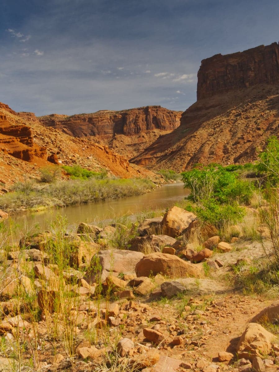
Utah canyon country. Worth every mile of the drive to get here.
San Juan River, New Mexico (below Navajo Dam)
The San Juan below Navajo Dam is a midge factory. Brown and rainbow trout averaging 16-20 inches, some pushing past 25. Year-round fishing with predictable flows. The Quality Waters section (first 3.5 miles below the dam) is catch-and-release, artificial flies only.
Simon Canyon Trailhead has BLM dispersed camping with toilets and drive-in access, about 10 minutes from the river. It's quieter than the sites closer to the dam. Angel Peak Badlands has more BLM camping about 30 miles out, but that's a long commute for a dawn session.
Bloomfield, about 25 minutes away, is the closest town with real services. Abe's Motel and Fly Shop near the dam has been there forever and is worth a visit. New Mexico is one of the more relaxed states for dispersed camping. Thin crowds outside of summer.
Living out of the truck
A simple setup beats an elaborate one. Truck bed with a topper, a 3-inch foam pad, and a 20-degree sleeping bag. A rooftop tent is nice if you have the money, but a pad in the truck bed works fine down to about 25 degrees. Crack the windows for ventilation or you'll wake up in a puddle of condensation.
For cooking: a single-burner camp stove (MSR PocketRocket or Jetboil), one pot, one pan, and a tin cup. Coffee at dawn, sandwiches at the river, ramen or freeze-dried meals at camp. You're there to fish, not cook.
Most dispersed sites have no water. Two 5-gallon jugs refilled in town will cover a long weekend. One tote box for camp stuff, one for fishing gear. Waders hang from the topper ceiling. Rods stay in tubes until you're at the water. The whole system breaks down in 10 minutes, which matters when you decide at 5 AM to move to a different river.
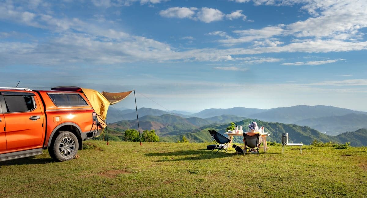
Everything you need for a week on the river fits in the back of a truck.
This won't last forever if we trash it
Dispersed camping is under more pressure than it's ever been. The Angeles National Forest restricted dispersed camping through December 2026, cutting stays to 7 days. The Tahoe National Forest now limits camping to 14 days per calendar year, not per stay. The Willamette National Forest put dispersed camping restrictions in place through 2027.
National parks hit 331.9 million visits in 2024. That overflow spills onto the surrounding BLM and Forest Service land where we camp. More people means more trash, more fire scars, more regulations. Hatch Magazine wrote about this back in 2022, and the trend has only accelerated since.
Pack out your trash. Use existing fire rings. Don't camp on top of other people. Don't blast music at 11 PM. Leave firewood for the next person. If you see garbage that isn't yours, pick it up anyway. Every campsite that gets closed down is one we can't use next year.
Before you load the truck
Check flows before you commit to a river. A six-hour drive that ends at a river full of snowmelt is a bad way to start four days. RiverReports tracks flows across the West so you can see conditions before you pack the truck.
Check fire restrictions. Most National Forests post current fire danger on their websites. During high fire season (July through September in most places), many forests ban campfires entirely. Plan your camp kitchen accordingly.
Check road conditions. Forest roads can be impassable after rain or during spring thaw. Call the local ranger district. A 30-second phone call can save you from getting stuck 40 miles from pavement.
And check fishing regulations. Every river has different rules about tackle restrictions, bag limits, and access points. A $50 out-of-state fishing license is a lot cheaper than a citation.
A trip like this costs gas, a fishing license, a bag of ice, and some peanut butter. The water and the campsite are already yours. The only real price is being willing to sleep in the dirt.
Get River Intel Weekly
Flow updates and fishing intel delivered every Thursday.
River Intel Weekly
Weekly flow updates and fishing intel.
© 2026 RiverReports, Inc.