Launching RiverReports Pro
For those of you going pro in something other than sports.
Greg Lamp
November 23, 2023
4 min read
TLDR
Today we're launching RiverReports Pro, a premium tier that complements our free service. For $1/month, Pro users get:
- Ad-free experience across all 10,000+ river sites
- Flow alerts - get notified when your favorite rivers hit fishable flows
- Priority access to new features
- Stickers - because you need something for your cooler
If you're interested, you can subscribe here.
Want RiverReports Pro but don't want to pay yourself? Try out the Mom Button (NOTE: also supports non-Mom based interactions).
Background
The idea for RiverReports came about 4-5 years ago. It's no secret that using sites like USGS and DWR is no fun. We thought that given the importance of flows for planning a fishing trip, it sure would be nice to have an easy way to check these flows in one place. So with this insight, we did nothing about it.
Fast forward to November 2020. The dark times. With the days short and social diversions limited, we decided to put together a site. The original prototype really wasn't that much different from the site you're using right now. It got good enough feedback (or maybe we were just bored enough) that we purchased the domain riverreports.com from some dude in Denmark–thanks Øjvin!
Within months, dozens of people who weren't our moms were visiting the site monthly. Overnight success had been achieved!
Growth
Fast forward again, this time 2 years. The site now covers over 10,000 river sites across all 50 states - from Colorado's South Platte to Montana's Madison to Wyoming's North Platte. Month over month and year over year growth was steady. We're still not entirely sure how the word got out. But our best guess is some combination of:
- SEO
- Word of mouth
- The stickers we occasionally remember to put up
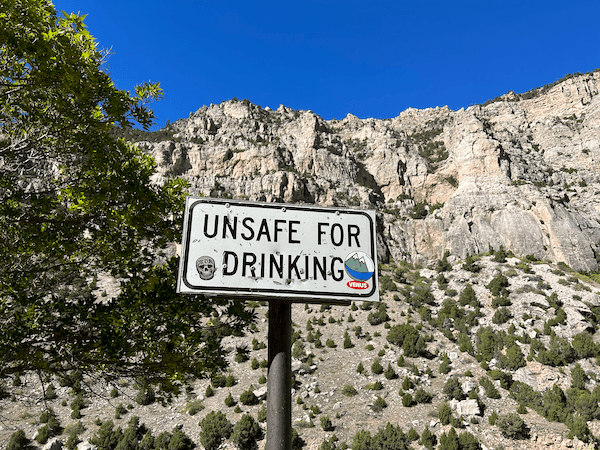
A sticker in the wild.
Whatever the case, people were beginning to find the site and (most importantly) repeatedly use the site. As a result our monthly usage continued to grow. This year something happened (again not quite sure why) but the end result is that over the summer we had just over 100,000 users.
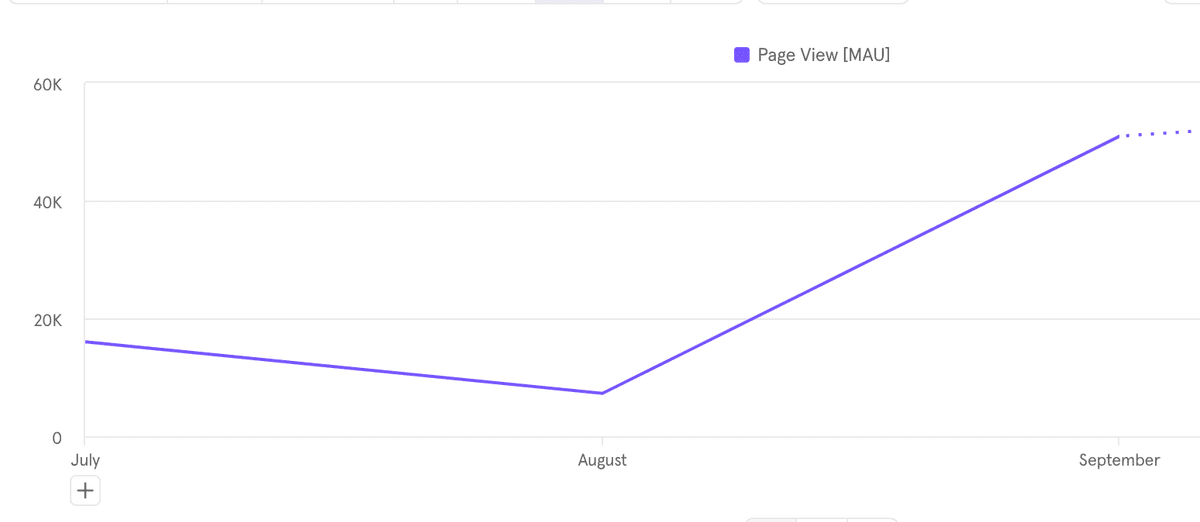
Traffic spiked in 2023.
In addition, you might've seen us around on other sites. The Ugly Bug (Casper, WY), Mountain Angler (Breckenridge, CO) and most notably The Orvis Company (Manchester, VT) have all started using our embeddable charts. They're free to use, customizable, and (if I do say so) they look a heck of a lot better than the USGS flows. We also provide charts for flows that don't actually have publicly available charts (i.e. the North Platte in Wyoming).
An embedded chart in all its glory.
What Pro Gets You
So why all this history? To support adding more locations, building features like embeddable charts and flow alerts, and keeping the site fast and reliable, we're introducing Pro.
Pro Features ($1/month):
- Ad-free everywhere - No banner ads on any of the 10,000+ river pages
- Flow alerts - Save your favorite rivers and get notified when flows hit your target range. Planning a float on the Arkansas? Set an alert for 800-1,200 CFS and we'll email you when it's prime.
- Priority support - Questions or feature requests go to the top of the list
- Stickers - High-quality vinyl stickers for your cooler, truck, or rod tube
Free users still get:
- Access to all river flow data
- Historical charts and averages
- Mobile-friendly experience
Pro is about supporting the site while getting a cleaner experience and flow alerts that actually save you time planning trips.
It makes a great gift. If you don't want to pay yourself, click the Mom Button below.
Thanks
We hope you'll consider subscribing to Pro. If not, no worries - the site will continue to work exactly the same for you. You'll just see some ads from time to time.
Either way, thanks for using RiverReports. Whether you're checking flows before a weekend float on the Arkansas, tracking spring runoff on the Yellowstone, or just making sure your local creek isn't blown out - we're glad you're here.
Ready to go Pro? Subscribe here or use the Mom Button above to get someone else to cover it.
Get River Intel Weekly
Flow updates and fishing intel delivered every Thursday.
River Intel Weekly
Weekly flow updates and fishing intel.
© 2026 RiverReports, Inc.