Flow~4,500 CFS
Trendstable
Clarityclear
Temp56-68°F
Corn-fed Caddis (CDC) #14-16Elk Hair Caddis #14-16Parachute BWO #18-20X-Caddis #14-16
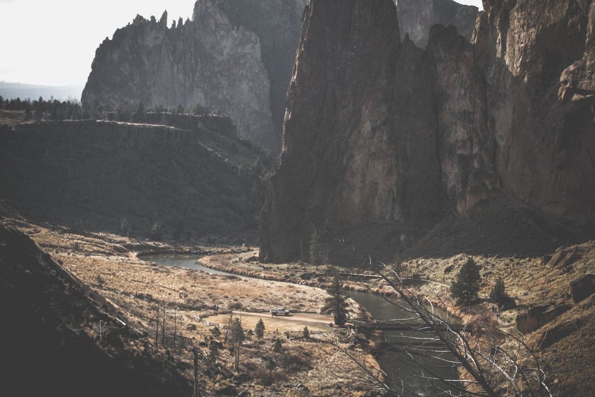
The Deschutes doesn't look like a trout river. No overhanging willows, no mossy boulders, no green valley. Instead, it cuts through high desert, carving a basalt canyon that rises 700 feet above the water in places. Rattlesnakes sun themselves on the rocks. The air smells like sagebrush and juniper. Temperatures can hit 100 degrees in July. And yet this stark, beautiful canyon holds one of the best wild trout fisheries in the American West, along with a summer steelhead run that has drawn spey casters from around the world for decades.
The Lower Deschutes, from Pelton Dam downstream roughly 100 miles to the Columbia River, is the section that earns the river its reputation. It was designated an Oregon Scenic Waterway in 1970 and a Federal Wild and Scenic River in 1988. The fish here are native redside rainbows (a subspecies of Columbia Basin redband trout), heavily built and brilliantly colored, averaging 12 to 16 inches with specimens pushing 20. They eat dry flies with conviction, especially during the salmonfly hatch that moves up the canyon each spring. In normal years, summer steelhead follow from July through November, and the swing fishing here is as good as it gets in the Lower 48.
| What | When | Key Numbers |
|---|---|---|
| Salmonfly hatch | Late April through early June (peak mid-May) | Best between Warm Springs and Sherars Falls; Chubby Chernobyl #6-8 |
| Redside trout fishing | April through October (year-round in some sections) | 3,500-5,000 CFS ideal; redsides average 12-16", fish to 20" |
| Summer steelhead | July through November (normally) | CLOSED August 15, 2026 due to low returns; check ODFW for updates |
| October caddis | Mid-September through October | Size #6-8 dry flies; aggressive surface takes |
| Float trips | May through October | 3-day Trout Creek to Maupin is the classic; BLM Boater Pass required ($5/person/day) |
| Guided trips | Book by March for salmonfly; 2-4 weeks out for summer | $550-700/day (1-2 anglers); multi-day camps $650+/person/day |
| Fly shops (Maupin) | Deschutes Angler | Maupin, OR; local reports and gear |
| Fly shops (Bend) | Fly and Field Outfitters | (541) 318-1616, 35 SW Century Dr, Bend |
The Deschutes is really two different rivers, and most visiting anglers are coming for the lower one.
The upper river originates in the Cascades south of Bend, flowing through the high plateau as a smaller, gentler stream. This section holds brown trout and resident rainbows, with fishing in and around Bend ranging from urban pocket water near the Old Mill District to more secluded runs above Benham Falls. The upper river is a completely different character than the canyon below, and it has its own seasonal closures (typically closed above Benham Falls from January through late May). For a deeper look at the Bend-area fisheries, including the Crooked River and Metolius, see our Bend, Oregon destination guide.
This is the river that draws anglers from across the country. Below Pelton Regulating Dam (river mile 100), the Deschutes transforms into a powerful desert canyon river, running approximately 100 miles north to the Columbia. Cold water releases from the dam support the wild redside population, and the canyon's remoteness keeps the fishery in strong condition. The Lower Deschutes is managed jointly by the Bureau of Land Management, Oregon Parks and Recreation, and the Confederated Tribes of Warm Springs. Access rules, tribal boundaries, and boater pass requirements all vary by section, so planning ahead is important.
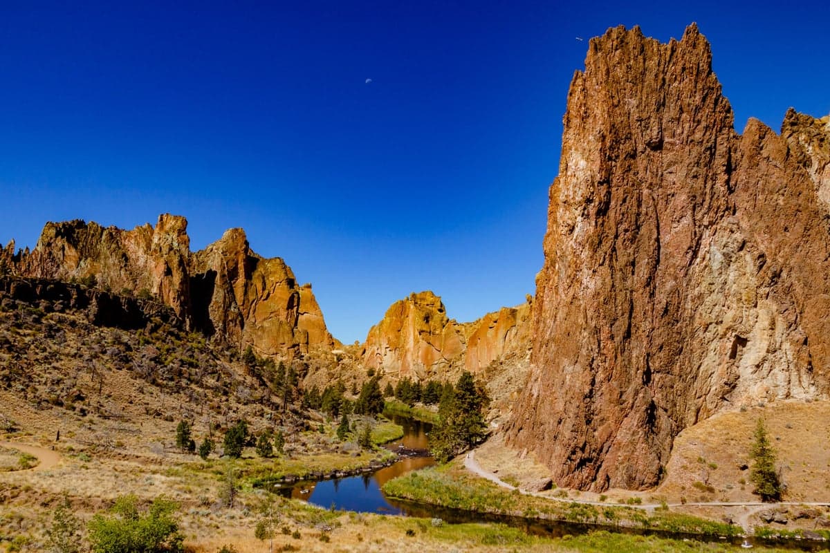
The Deschutes basin near Smith Rock State Park, showing the volcanic geology and high desert landscape typical of Central Oregon
The Lower Deschutes breaks into four practical sections for trip planning. Understanding which section fits your skill level, time, and goals will save frustration.
This is the uppermost section of the Lower Deschutes, immediately below Pelton Dam. The cold dam releases make this water among the most productive for trout, and the salmonfly hatch typically peaks here earliest (late April to mid-May). However, access is complicated by tribal land. The east bank lies within the Warm Springs Indian Reservation, and non-tribal members are not permitted on reservation land without a tribal permit. The west bank is BLM land accessible at Mecca Flat, which offers a boat ramp and a couple miles of road-accessible bank fishing downstream.
Float option: The roughly 10-mile float from the Warm Springs boat ramp to Trout Creek Campground is a popular day trip with minimal whitewater. It covers some of the best trout water on the entire river.
The heart of the fishery and the section most visiting anglers target. This 36-mile stretch runs through deep canyon with limited road access, making multi-day float trips the standard approach. It is also the most heavily pressured section, seeing upwards of 50,000 angler-days annually according to ODFW data. The river passes through areas known to regulars: Whiskey Dick, Wapinitia Creek, South Junction, and the long riffle complexes that hold feeding redsides at every bend.
Notable landmarks and access along this reach include Trout Creek Campground (popular put-in), South Junction (road access from the east side via Highway 197), and ultimately Maupin, the only incorporated town on the Lower Deschutes.
Hazard note: The White River enters from the east near river mile 48. After rainstorms, it can dump glacial silt into the Deschutes, muddying the river downstream of the confluence for miles. This is unpredictable and can ruin fishing below the junction for a day or more. If you are floating this section and notice the water turning milky, the White River is the culprit.
This section is the most accessible for wade fishing. The Deschutes River Access Road follows the east bank north of Maupin, with multiple pullouts at named spots: Oak Springs, Long Bend, Sandy Beach, Pine Tree, Oasis, and Beavertail. You can drive to a pullout, walk down to the water, and fish productive runs without a boat.
Critical hazard: Sherars Falls sits at river mile 44, roughly seven miles below Maupin. This is an impassable Class VI cataract. All boats must portage around it. Sherars Falls is also a traditional tribal dipnet fishing site for the Confederated Tribes of Warm Springs, and it is not a place to linger or fish. Respect the site and the fishers working there.
Below Sherars Falls, the river enters excellent steelhead water (in seasons when the fishery is open). The canyon deepens and the character shifts toward bigger, more powerful runs.
The road ends at Macks Canyon. Below here, the river enters the most remote stretch, accessible only by boat or on foot via an old railroad grade on the east bank. This section is primarily steelhead water in the fall, though trout fishing can be excellent in May and June. Few anglers fish this reach for trout specifically, which means less pressure and bigger fish for those willing to hike or float in.
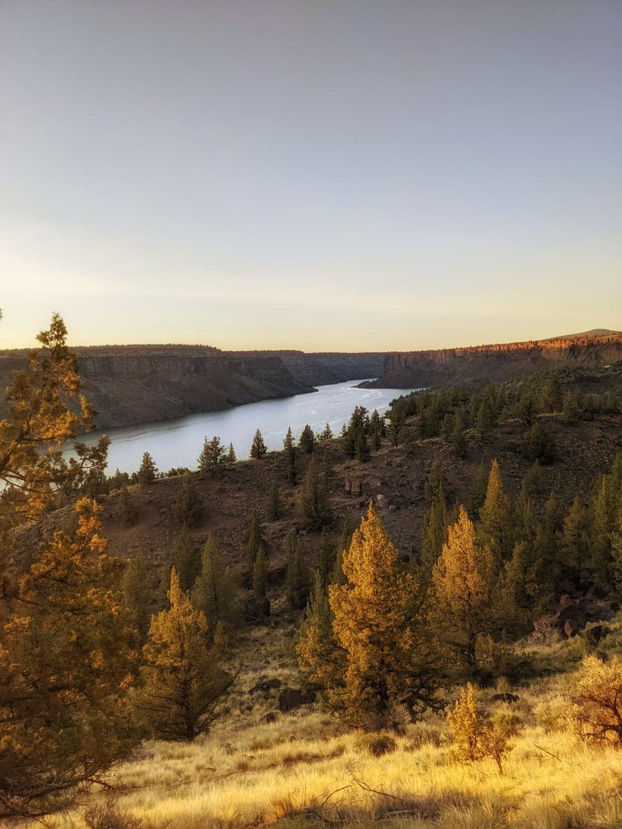
Lake Billy Chinook on the Deschutes River near Culver, Oregon. The river's transition from high plateau to deep canyon is visible in the terrain.
The Pelton Regulating Dam controls flows on the Lower Deschutes, with releases managed by Portland General Electric and the Confederated Tribes of Warm Springs as part of the Pelton Round Butte hydroelectric project. This dam-controlled system means flows are relatively stable compared to freestone rivers, though they do vary seasonally.
| CFS Range | Conditions | Best For |
|---|---|---|
| Below 3,500 | Low flows; excellent wading; fish concentrated | Walk-and-wade; sight fishing; best dry fly conditions |
| 3,500-5,000 | Ideal range; comfortable wading in most spots | All-purpose fishing and floating; best overall conditions |
| 5,000-5,500 | Higher water; stronger current; wading more difficult | Float fishing; nymphing from a boat; experienced waders |
| Above 5,500 | Pushy current; limited wading; bank water hard to reach | Experienced rowers only; boat-based fishing |
Spring releases typically run 4,000 to 5,000 CFS. Late summer flows often drop to around 3,500 CFS, though this varies year to year. The river is generally fishable at any dam-controlled flow, but below 4,000 CFS is where wade fishing becomes comfortable for most anglers.
Track current Deschutes River flows on RiverReports before planning your trip. The gauge near Madras (just below the dam) gives you the best picture of what the upper canyon is doing, while the Moody gauge near the mouth reflects the full lower river.
Water temperature note: This is a critical factor on the Deschutes, especially in summer. Canyon air temps can exceed 100 degrees F, and water temps in the lower reaches can push into the mid-to-upper 60s by afternoon. Redsides show stress above 65 degrees F. Fish early and late during July and August, and avoid handling fish during peak heat. The coldest water is always closest to the dam.
The salmonfly hatch is why many anglers first discover the Deschutes. These massive stoneflies (Pteronarcys californica, up to 3 inches long) crawl out of the river to mate, and for a few weeks each spring, redsides gorge on them with reckless abandon. The hatch typically begins in the Warm Springs area around May 5 to 10, moving upstream as water temperatures hit the mid-50s, and progresses downstream roughly 3 to 5 miles per day. By late May, most of the nymphal migration near Warm Springs is complete, while downstream sections between Maupin and Sherars Falls may still see activity into early June.
Fly selection: Chubby Chernobyl (#6-8 with orange foam body), Norm Woods Special, and Clark's Stonefly are the standards. In glassy water near overhanging trees, hairwing patterns like the Norm Woods get more eats. In deeper riffles and heavier current, foam-bodied flies like the Chubby ride higher and are easier for fish to spot. A trailing PMD nymph (#16) on 16 inches of 5X tippet beneath the big dry is a reliable double rig.
Timing tip: The salmonfly hatch draws crowds, and if you are flexible, timing your visit to hit the front edge of the hatch (usually the first week of May near Warm Springs) gives you the best fishing with the least competition. By mid-May, every boat in Central Oregon is on the river between Warm Springs and South Junction. If you can only visit during peak season, weekdays are dramatically less crowded than weekends. The hatch typically lasts 2 to 3 weeks in any given stretch, so you have a reasonable window if conditions cooperate.
Golden stoneflies overlap with the salmonflies and extend through June. They are smaller (size #8-10) but still bring big fish to the surface.
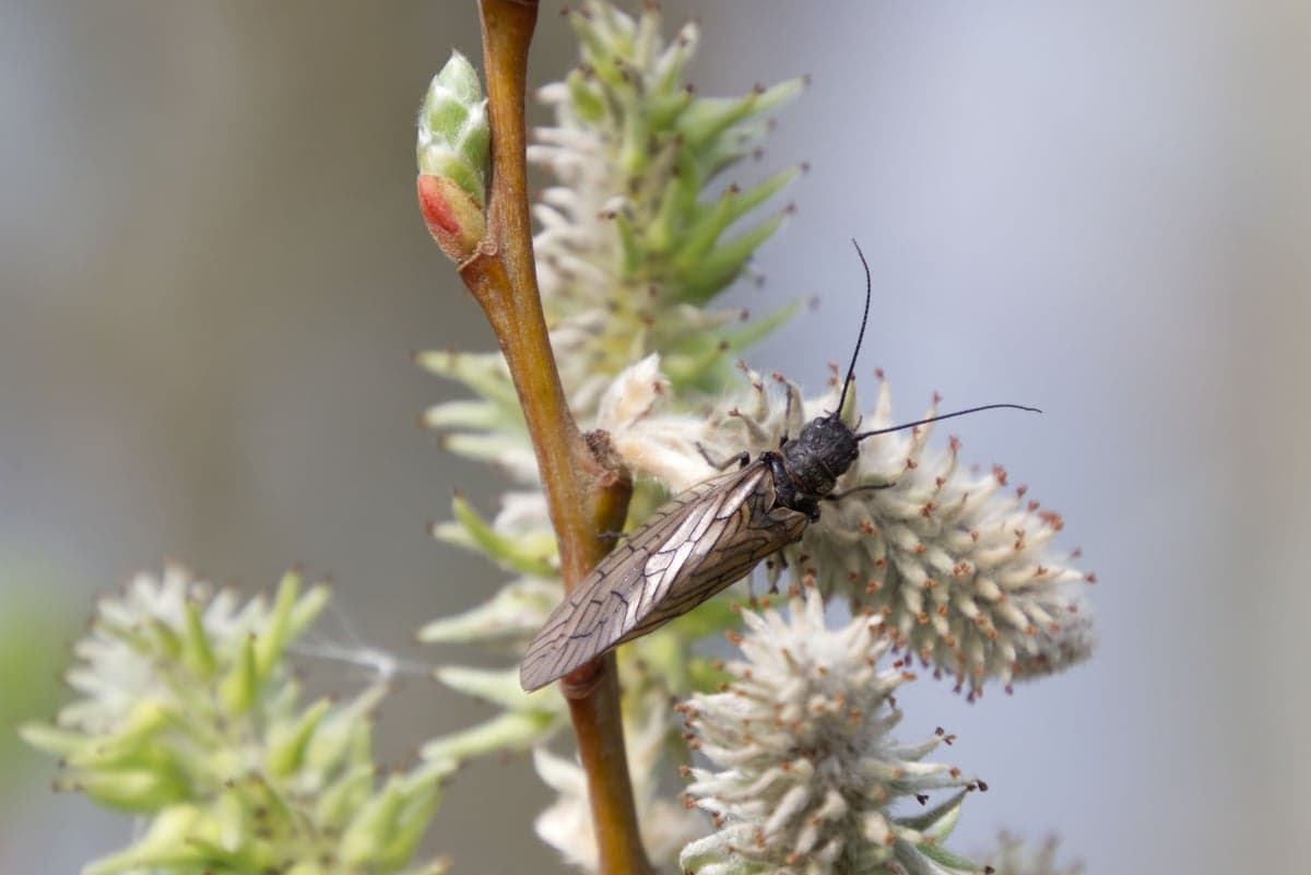
A stonefly perches on a budding branch. The salmonfly hatch on the lower Deschutes is one of the most anticipated dry fly events in Western fly fishing.
Summer is caddis season. Heavy evening emergences of tan and olive caddis (#14-16) bring redsides to the surface from June through August. The evening hatch is one of the best dry fly shows in the West. As the sun drops behind the canyon rim (typically around 6pm in midsummer), caddis start popping off the riffles and tailouts. Fish will rise aggressively until full dark.
Key patterns: Elk Hair Caddis (#14-16), Corn-fed Caddis CDC (#14-16), X-Caddis (#14-16), and GTI Caddis. CDC patterns outperform elk hair in slower water, while elk hair works better in broken currents.
Pale Morning Duns appear reliably from 9am to noon, June through August, providing a welcome mid-morning window when the caddis are quiet. PMD Comparadun (#16-18) and Sparkle Dun patterns produce well.
Practical tip for summer visitors: The daily rhythm on the Deschutes in July and August runs something like this. Fish nymphs from first light until the PMDs start around 9am. Switch to dry flies for PMDs through late morning. Take a break during the heat of the day (noon to 5pm), when water temps peak and fish go deep. The evening caddis hatch starts as shadow creeps across the water around 6pm, and the best hour of fishing is typically the last hour before dark. Bring a headlamp for the walk back to camp.
Steelhead (normally July through November): In a typical year, summer steelhead begin arriving in the lower canyon by late July and push progressively upstream through fall. The Deschutes is one of the premier rivers in the West for swinging flies on a spey rod, with steelhead willing to come up to a floating line in the broad, wadeable runs. Traditional hairwing patterns like the Green Butt Skunk (#4-8) fished on a 12'6" to 13'6" spey rod in the 6 or 7 weight range are the classic setup. However, as of August 2026, steelhead fishing is closed on the Deschutes. Only 7,388 wild steelhead passed Bonneville Dam in July, far short of the 9,900 fish required under ODFW's management framework to keep the fishery open. The closure took effect August 15. If returns improve dramatically (23,100 fish by August 31), the fishery could reopen by September 15, but this outcome appears unlikely. Plan trout-only trips for the remainder of 2026.
September and October bring some of the year's best dry fly fishing. October caddis (Dicosmoecus) start hatching in mid-September, and these large (#6-8), orange-bodied insects trigger aggressive surface takes from big redsides. If you see a monster rise under an overhanging tree that looks like a fish eating a salmonfly, it is probably keyed on October caddis. Soft, accurate presentations beat long casts.
BWOs (Baetis) strengthen through September and October, providing consistent afternoon hatches on overcast days. The combination of October caddis and BWOs makes fall the sleeper season for dry fly enthusiasts who want to avoid the salmonfly crowds.
Water temperatures cool to comfortable levels, and canyon cottonwoods turn gold along the basalt walls. Crowds thin dramatically after Labor Day, and campsite availability opens up for multi-day floats. Many locals consider this the Deschutes at its finest, and the numbers back it up: some of the largest redsides of the year are caught during the October caddis hatch when big fish move to the bank to feed.
The Lower Deschutes is open year-round below Sherars Falls, and winter fishing holds up well for anglers willing to deal with cold mornings and short days. Nymphing with hot-beaded stonefly patterns (#6-8), Perdigons (#14-16), and midge larvae (#18-22) is the primary approach. Hatches are sparse, but a few midges and little brown stoneflies emerge on warmer afternoons. The fish are still there, and you will have the canyon to yourself.
Note: The section from Pelton Dam to the Warm Springs boundary is typically closed from late November through late April. Check current ODFW regulations before planning a winter trip.
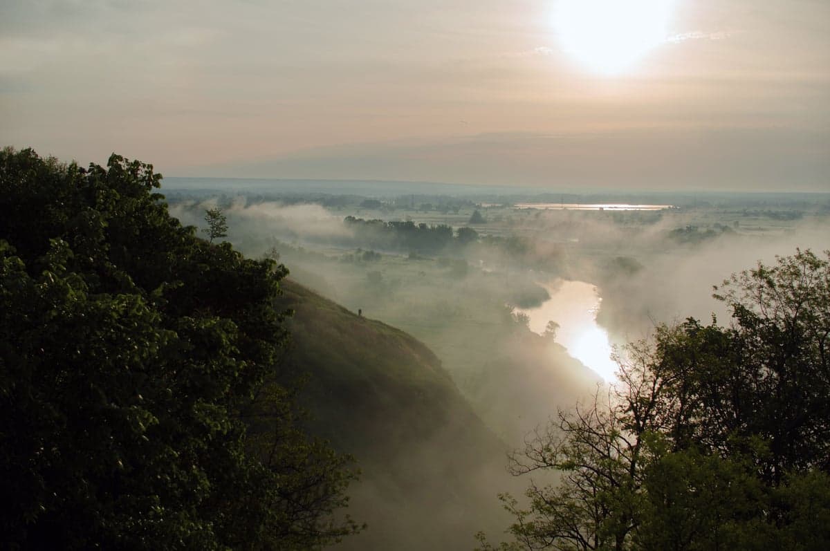
Morning fog lifting from a river valley at sunrise. On the Deschutes, early mornings are the most productive fishing window during summer heat.
The native redsides of the Lower Deschutes deserve their own note. Technically Oncorhynchus mykiss gairdneri (Columbia Basin redband trout), these are not stocked hatchery fish. No rainbow trout have been stocked below Pelton Dam. Every fish you catch in the lower canyon is wild, born in the gravel of the Deschutes or its tributaries.
Redsides are stockier and deeper-bodied than typical rainbows, with a distinctive scarlet lateral stripe that gives them their name. They are also stronger than their size suggests. A 15-inch redside in heavy current will put up a fight that feels like a much larger fish. They are adapted to the warm, fast water of the canyon and tolerate temperatures that would stress other trout populations, though they do show signs of thermal stress above 65 degrees F.
Regulations: All wild rainbow trout in the Lower Deschutes must be released. Any rainbow over 20 inches is legally classified as a steelhead under Oregon law. Artificial flies and lures with single barbless hooks are required throughout the lower river. Bait is prohibited. Check ODFW regulations for the current season, as closures and rule changes happen mid-season, especially regarding steelhead.
The Deschutes holds a special place in steelhead fly fishing culture. The broad, wadeable runs, the desert canyon backdrop, and steelhead willing to rise to a floating line make it one of the few rivers where traditional wet fly swinging remains the dominant and most effective approach.
In a normal year, A-run and B-run summer steelhead enter the lower river by late July and push upstream through October. Early-season fish concentrate near the Columbia confluence and in the canyon below Macks Canyon. By September and October, steelhead have spread throughout the entire lower river, and the canyon between Maupin and Macks Canyon becomes the center of the action.
Gear: A 12'6" to 13'6" spey rod in the 6 or 7 weight range is standard. Both Scandinavian and Skagit shooting heads have their place. Scandi heads excel in the classic swing with a floating line and unweighted flies, while Skagit heads paired with sink tips get flies deeper in heavier water. When water temperatures are above 50 degrees F, floating lines and classic hairwing patterns routinely take fish. Green Butt Skunk (#4-8), Purple Peril, and Hazel's Lum Plum are proven patterns. Small skaters fished in the film during low light can produce explosive takes. For midday or deeper water, a sink tip with a dark marabou intruder or bunny leech is the fallback.
The 2026 reality: As noted above, steelhead fishing is closed on the Deschutes as of August 15, 2026, due to critically low wild steelhead returns. This is a conservation closure, and the runs have been declining for several years. There is no guarantee the fishery will reopen for the 2026 season. Anglers who have booked steelhead trips should contact their guides or outfitters about alternatives. The Deschutes' trout fishing remains excellent and unaffected by the steelhead closure.
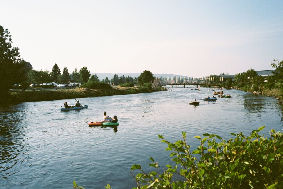
Paddlers on the Deschutes River near Bend. The upper river through town is a popular recreation corridor with a different character than the wild lower canyon.
The multi-day camping float is how the Deschutes was meant to be experienced. Drifting through the canyon over two or three days, setting up camp on gravel bars, and fishing water that you cannot reach from any road is a bucket-list experience for Western anglers.
This is the most popular multi-day float on the river. You put in at Trout Creek Campground (river mile 87) and take out at Maupin (river mile 51), covering roughly 36 miles over three days. The pace is relaxed, with plenty of time to pull over and wade fish productive runs.
Logistics:
A shorter option covering roughly 27 miles of excellent water, including Sherars Falls (mandatory portage for all boats). This section is the primary steelhead water in fall (when open) and holds good trout fishing through the season. Boxcar Rapids (Class III) sits below Maupin, and Whitehorse Rapids (Class III+/IV) is the most significant whitewater on the entire lower river, located downstream of Sherars Falls. Scout both if you have not run them before.
Running your own float requires a car shuttle. The put-in at Trout Creek and the take-out at Maupin are connected by Highway 197 and Deschutes River Road, roughly a 45-minute drive between the two. A few options:
Cell coverage: Service is spotty to nonexistent in the canyon below Trout Creek. You may get a weak signal in Maupin and at higher points along the canyon rim, but do not count on your phone for navigation or emergencies once you are on the water. Carry a paper map and, for multi-day trips, consider a satellite communicator (inReach or SPOT).
Good for newer anglers/floaters:
Requires experience:
Several outfitters run fully outfitted multi-day float trips with guide boats, camp equipment, meals, and riverside camp setups. These are the easiest way to experience the canyon if you don't have your own gear, and they solve the shuttle problem entirely.
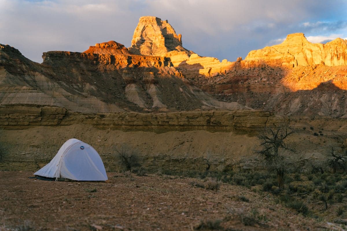
Canyon camping at sunset. Multi-day float trips on the Lower Deschutes are a bucket-list experience for Western anglers.
The Deschutes canyon demands respect. This is not a forgiving environment if you make a mistake.
The Deschutes is a powerful river with a heavy cobble bottom, and the current is faster than it looks. Felt-soled or studded wading boots are strongly recommended. A wading staff is worth the hassle for crossing deeper runs. The river averages 150 to 200 feet wide with flows of 4,000+ CFS, and what looks like knee-deep water from the bank can be waist-deep with a strong downstream pull. Take your time, shuffle your feet, and don't cross water that you are not confident about.
Canyon air temperatures regularly exceed 100 degrees F in July and August. Carry more water than you think you need. Shade is limited to narrow strips along the basalt walls in morning and evening. Heat exhaustion is a real risk, especially on multi-day float trips. A wide-brimmed hat, sun protection, and electrolytes are essential, not optional.
Western rattlesnakes are present throughout the canyon. They are most active in warm weather and tend to shelter under rocks and in tall grass. Wear ankle-covering boots when hiking between fishing spots. Watch where you step and where you sit. Look before reaching into rock crevices or under brush. Rattlesnakes are not aggressive and will avoid you if given the chance, but surprising one at close range is a real possibility in this terrain. Bites are rare but the nearest hospital is in Madras (roughly an hour from Maupin).
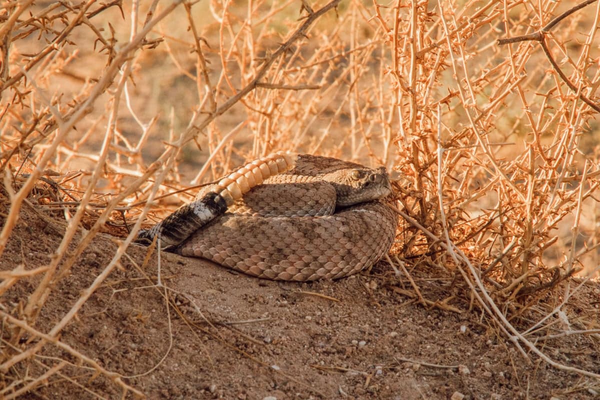
Western rattlesnakes are common in the Deschutes canyon. Watch where you step, especially near basalt rock piles and tall grass.
Sherars Falls at river mile 44 is an impassable Class VI cataract. All boats must portage. People have died here. Do not attempt to run it. The portage is well-marked and manageable, but take it seriously. This is also an active tribal fishing site, and the area around the falls should be treated with respect.
The east bank of the river from Pelton Dam downstream through the Warm Springs area is Confederated Tribes of Warm Springs reservation land. Non-tribal members are not allowed on reservation land without a tribal permit. Tribal boundaries are not always intuitive or well-marked from the water. If you are wading across the river or floating and pulling over to fish, confirm your location before stepping onto the east bank in the upper sections. When in doubt, stay on the west (BLM) bank.
Maupin (population roughly 400) is the hub of the Lower Deschutes. It is the only incorporated town on the river and sits right at the canyon's edge, about two hours southeast of Portland and 90 minutes north of Bend.
Fly shops: Deschutes Angler is the go-to for local reports, gear, and guide bookings. Deschutes Canyon Fly Shop, open since 1985, offers guided trips and classes. The Deschutes River Fly Shop & Camp provides guide services, vacation rentals, and an RV park.
Lodging: No chain hotels. Imperial River Company offers riverside lodge rooms and manages rafting operations. Small inns, cabins, and campgrounds are the primary options.
Dining: The restaurant at Imperial River Company serves creative dinners with a river view. The Oasis is known for hearty breakfasts and smoked meats. Holy Roasters Coffee operates out of a rustic log cabin with organic coffee and pastries.
Bend sits about 100 miles south of Maupin and is the closest city with full services (airport, gear shops, restaurants, breweries). It is also the base for fishing the upper Deschutes, the Crooked River tailwater, and the Metolius. Check our Bend, Oregon fly fishing guide for detailed coverage of the area's fisheries.
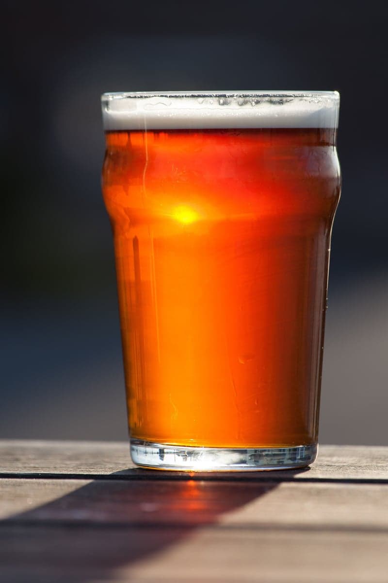
Central Oregon's craft beer scene is a natural complement to a day on the water. Bend alone has over 30 breweries.
| Rule | Details |
|---|---|
| License | Oregon fishing license required; available at ODFW |
| Tackle | Artificial flies and lures only; single barbless hooks required |
| Bait | Prohibited on the entire Lower Deschutes |
| Trout | Wild rainbows (redsides) must be released; any rainbow over 20" is legally a steelhead |
| Steelhead | CLOSED as of August 15, 2026; check ODFW for in-season updates |
| Boater Pass | Required year-round for all watercraft on the Lower Deschutes; $5/person/day |
| Tribal land | East bank from Pelton Dam through Warm Springs reach is reservation land; non-tribal access requires a permit |
| Seasonal closures | Pelton Dam to Warm Springs boundary closed Nov-April (varies); above Benham Falls closed Jan-May |
Important: ODFW makes mid-season regulation changes, especially for steelhead and salmon. Always check the ODFW regulation updates page before your trip, not just at the start of the season.
Everything this river feeds, by month. Filter by bug, category, or fly size, and switch the axis to see what comes off at what time of day. Pulled from our western hatch and forage guide.
The Deschutes is one of those rivers where checking conditions before you drive makes a real difference. The two key gauges are:
Track both gauges on RiverReports Oregon page. Stable flows in the 3,500 to 5,000 CFS range at the Madras gauge mean good fishing conditions throughout the lower canyon. If flows spike above 5,500 CFS, wade fishing becomes limited and you will want a boat. During summer, pair the flow data with recent fishing reports from local shops to get a read on water temperatures and hatch activity.
For nearby alternatives when the Deschutes is off, check the Crooked River (a year-round tailwater near Prineville) or the spring-fed Metolius River near Camp Sherman.
Weekly flow updates and fishing intel.
© 2026 RiverReports, Inc.